
The Tennessee River defines North Alabama. It winds through our region, creating the lakes we boat on, the views we admire, and the fertile valleys where our cities grew. But that same river also creates flood risks that many homeowners don't fully understand — until water shows up where it shouldn't.
If you live in Decatur, Guntersville, parts of Huntsville, or any of the river-adjacent communities throughout the Tennessee Valley, understanding flood risk isn't optional. It's essential for protecting your home, your foundation, and your investment.
Understanding the Tennessee River Flood Plain
The Tennessee River flows 652 miles from Knoxville, Tennessee, to Paducah, Kentucky, passing directly through North Alabama. Along the way, the Tennessee Valley Authority (TVA) operates nine dams that control water levels — including Wheeler Dam near Decatur, Guntersville Dam, and Wilson Dam downstream. These dams were built in the 1930s and 1940s specifically for flood control, navigation, and electricity generation.
The dams have prevented catastrophic flooding like the region experienced before TVA's creation. But they haven't eliminated flood risk. Heavy rains upstream still raise lake levels significantly. When Wheeler Dam releases water to manage levels, downstream areas feel the effects. And critically, the dams do nothing to address the elevated water tables and drainage challenges that come with living near a major river system.
The 1973 Tennessee River flood remains the benchmark event for our area. The river crested at Whitesburg Bridge in Huntsville at over 26 feet — well above flood stage. Wheeler Dam released water at rates exceeding 300,000 cubic feet per second. Properties that had never flooded before found themselves underwater. That event reshaped how we think about flood risk in the Tennessee Valley.
Which North Alabama Areas Are in Flood Zones?
FEMA maintains Flood Insurance Rate Maps (FIRMs) that identify flood hazard areas throughout North Alabama. You can check your specific property using Alabama's interactive flood map at AlabamaFlood.com or the FEMA Flood Map Service Center. But here's a general overview of the areas with elevated flood risk:
Decatur and Morgan County: Decatur sits directly on the Tennessee River, with Wheeler Lake to the east and the river continuing west toward Wilson Dam. Significant portions of Decatur — particularly neighborhoods near the river, areas around Point Mallard, and low-lying sections of the city — fall within designated flood zones. The water table throughout Morgan County is influenced by river levels, meaning even properties outside the official flood plain experience elevated groundwater during high-water events.
Guntersville and Marshall County: Guntersville is essentially surrounded by water — Lake Guntersville wraps around the city on three sides. This creates both scenic beauty and significant flood exposure. Many waterfront properties and low-lying areas are in Special Flood Hazard Areas (SFHAs). The lake's water level fluctuates based on TVA operations and upstream rainfall, directly affecting groundwater levels throughout the area.
Huntsville and Madison County: While Huntsville isn't on the Tennessee River itself, parts of the city are affected by its watershed. The Tennessee River at Whitesburg Bridge serves as a key flood gauge for the area. Properties along the Flint River, Aldridge Creek, and other waterways that feed the Tennessee system have flood exposure. Rapid development in south Huntsville and Madison has also created new drainage challenges as natural flood plains get developed.
River-Adjacent Communities: Smaller communities throughout the Tennessee Valley face similar challenges. Triana, Mooresville, Trinity, and other towns near the river have properties in flood zones. Even communities that aren't directly on the river — like Hartselle, Athens, and Cullman — may have properties near creeks and tributaries that connect to the Tennessee River system.
The Difference Between River Flooding and Drainage Problems
Here's where many homeowners get confused: there's a critical difference between catastrophic river flooding and the chronic drainage problems that affect homes near flood plains. Both are serious, but they require different solutions.
River flooding is the dramatic event — when water levels rise enough to inundate properties that are normally dry. This is what flood insurance covers and what FEMA maps track. True river flooding is relatively rare in the TVA-controlled Tennessee River system, though it does happen during extreme rainfall events.
Drainage problems are the chronic, ongoing issues that affect homes in and near flood plains every time it rains. High water tables mean groundwater sits closer to the surface. Clay soil doesn't absorb water efficiently. Poor lot grading directs water toward foundations instead of away from them. Inadequate gutter systems dump thousands of gallons of roof water directly next to foundation walls.
The frustrating reality: homes can be outside the official flood zone and still have severe drainage problems related to their proximity to the river system. The elevated water table doesn't respect FEMA map boundaries. If you're within a few miles of the Tennessee River or its tributaries, your groundwater levels are influenced by river conditions — even if you've never seen flood water on your property.
How High Water Tables Affect Your Home
The Tennessee River maintains a massive volume of water throughout North Alabama. Wheeler Lake alone covers over 67,000 acres. Guntersville Lake is even larger. All that water doesn't just sit in the channel — it saturates the surrounding soil, raising the water table for miles around.
When the water table is high, several things happen to homes:
Hydrostatic pressure increases: Groundwater creates pressure against basement walls and floor slabs. This pressure can force water through microscopic cracks in concrete, creating that damp, musty basement smell even without visible flooding. Over time, the pressure can bow or crack foundation walls.
Soil stays saturated longer: After rain, surface water has nowhere to go. It can't drain down into groundwater that's already at or near the surface. Instead, it pools and spreads horizontally — often toward your foundation. What might drain in hours on high ground can take days near the river.
Foundation movement accelerates: Saturated soil around foundations creates expansion and contraction cycles that stress concrete and block. The clay soil common throughout North Alabama makes this worse — it swells when wet and shrinks when dry, creating constant movement against foundation walls.
Crawlspaces become moisture traps: High water tables mean elevated humidity in crawlspaces, even with vapor barriers installed. This moisture promotes mold growth, wood rot, and pest infestations. Many homeowners in river-adjacent areas struggle with crawlspace moisture that never fully resolves.
Why Standard Drainage Solutions Often Fail Near the River
Homeowners in flood-prone areas often try standard drainage improvements — and are disappointed when problems persist. Here's why:
French drains can't drain to saturated soil: A French drain collects water and allows it to percolate into the ground. But if the water table is already high, there's nowhere for that water to go. The drain fills and becomes ineffective. French drains work great on high ground with deep water tables — they're often inadequate near rivers.
Sump pumps run constantly: Sump pumps remove water from basements and crawlspaces, but near high water tables, they're fighting a losing battle. The pump removes water, groundwater immediately replaces it, and the pump runs again. This cycle can burn out pumps, drive up electric bills, and still leave you with moisture problems.
Basic downspout extensions aren't enough: Moving water 3-4 feet from your foundation doesn't help much when the soil stays saturated anyway. The water you move pools a few feet away, then migrates right back toward your foundation through the saturated soil. You need to move water much farther — or handle it completely differently.
Effective Drainage Solutions for Flood-Prone Properties
Protecting homes in or near flood plains requires more aggressive approaches than standard drainage. Here's what actually works:
Properly sized gutters with adequate downspouts: This is always the starting point. Your roof collects thousands of gallons of water annually — in North Alabama, a 2,000-square-foot roof receives over 68,000 gallons from our average 55 inches of rainfall. Every gallon that lands next to your foundation is a gallon contributing to your drainage problems. Gutters sized for our intense spring storms (often 6-inch gutters instead of standard 5-inch) with sufficient downspouts (one per 20-25 feet of gutter run) capture that water before it hits the ground.
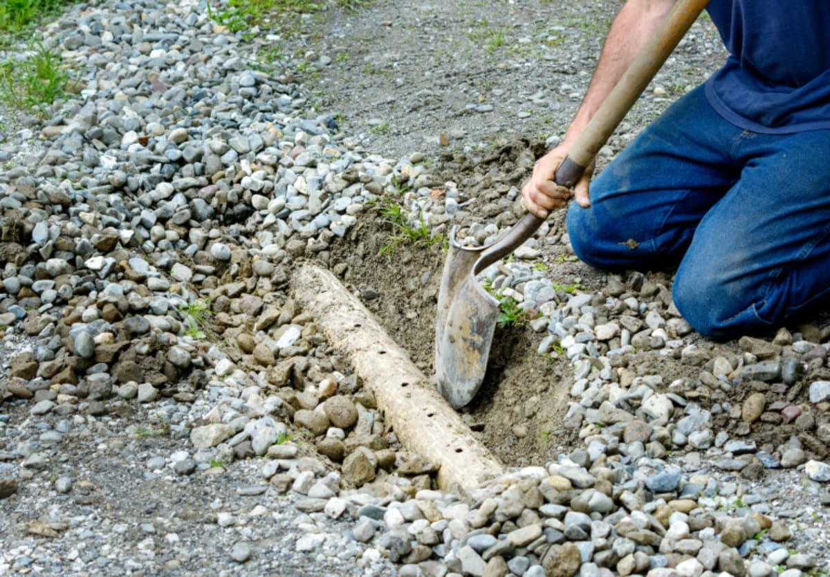
Underground drain systems: This is where flood-prone properties differ from standard situations. Instead of surface extensions that dump water a few feet away, underground drains carry water through sealed pipes to discharge points far from your home — 15, 20, 30 feet or more. The water never touches the saturated soil near your foundation. It travels through a closed system and exits at a point where it can't affect your home.
Strategic discharge locations: Where does the water go? For properties near the river, this requires careful planning. Options include discharge to storm drains (where permitted by local regulations), daylight discharge at property edges where water can flow away naturally, or dry wells in areas with better drainage. We design systems that work with your specific property and local conditions.
Gutter guards to prevent system failure: When gutters clog and overflow, all your drainage planning fails. The water goes right back to landing next to your foundation. Properties with heavy tree coverage — common along the Tennessee River — need gutter protection that prevents clogs while allowing water to flow. One overflow during a spring storm can cause more damage than weeks of normal rain.
Understanding Flood Insurance
If your property is in a designated Special Flood Hazard Area (SFHA), your mortgage lender requires flood insurance. But flood insurance is worth considering even if you're outside the official flood zone.
Standard homeowners insurance doesn't cover flood damage — period. If water enters your home from outside (rising groundwater, overflowing rivers, surface flooding), your homeowners policy won't pay. You need separate flood insurance through the National Flood Insurance Program (NFIP) or a private insurer.
For properties outside high-risk zones, flood insurance is often surprisingly affordable — sometimes under $400 per year for basic coverage. Given the drainage challenges near the Tennessee River, this coverage provides important protection against events that aren't supposed to happen but sometimes do.
One important note: flood insurance covers damage from flooding events, not chronic moisture problems. If your basement has water intrusion from poor drainage, that's a maintenance issue, not an insurable flood. Insurance pays when the river rises; it doesn't pay because your gutters are inadequate. Proper drainage systems protect you from the everyday problems insurance won't cover.
What Blue River Gutters Recommends for Flood-Prone Areas
We've been working with North Alabama homeowners in flood-prone areas for over two decades. Here's our standard approach for properties near the Tennessee River system:
Start with assessment: We evaluate your current gutter system, downspout placement, discharge locations, and overall drainage patterns. We look at lot grading, proximity to waterways, and evidence of past water intrusion. Understanding your specific situation determines what solutions make sense.
Size gutters for worst-case scenarios: Properties near flood plains don't have room for error. We typically recommend 6-inch gutters with 3x4-inch downspouts to handle the intense rainfall events common in North Alabama. These systems handle normal rain easily and don't fail during the spring storms that stress standard gutters.
Install underground drainage: For most flood-prone properties, surface extensions aren't sufficient. We install underground drain systems that route water 15-30 feet from foundations through sealed pipes. The water never has a chance to saturate the soil around your home.
Protect the system with guards: River-adjacent properties typically have significant tree coverage — and significant debris falling into gutters. We install gutter guards appropriate for your specific debris challenges (micro-mesh for fine debris, screen guards for larger leaves). A protected system works reliably; an unprotected system fails when you need it most.
Plan for maintenance: Even with guards, periodic inspection ensures your system performs. We recommend annual check-ups for flood-prone properties, particularly before spring storm season when you need maximum protection.
Signs Your Flood-Zone Property Needs Drainage Help
Not sure if your current drainage is adequate? Here are warning signs to watch for:
Water pooling near your foundation after rain: If water stands within 4-5 feet of your foundation for more than 24 hours after rain stops, your drainage isn't moving water away effectively.
Musty smells in basement or crawlspace: That smell is mold and mildew growing in damp conditions. Even without visible water, moisture is getting where it shouldn't.
Efflorescence on foundation walls: Those white, chalky deposits are mineral salts left behind when water evaporates. They mark the path water is taking through your foundation.
Cracks in foundation walls or floors: New cracks, especially horizontal cracks in basement walls, suggest foundation movement from hydrostatic pressure or soil expansion/contraction.
Gutters overflowing during heavy rain: If your gutters can't handle intense rainfall, they're dumping water directly next to your foundation — exactly where you don't want it.
Downspouts discharging near foundation: Look at where your downspouts actually deposit water. If it's within a few feet of your foundation, it's not far enough — especially in flood-prone areas.
Sump pump running frequently: If your sump pump runs multiple times per day during normal weather, groundwater is constantly entering your home. Better exterior drainage can reduce this load significantly.
Taking Action
Living near the Tennessee River is a privilege — the water access, the views, the natural beauty of the Tennessee Valley. But it comes with responsibility to understand and manage the drainage challenges that proximity creates.
The good news: these problems are solvable. Proper gutter systems, underground drainage, and attention to water management can protect homes in flood-prone areas effectively. The cost of doing it right is a fraction of what foundation repairs or water damage restoration would cost.
If you're in Decatur, Guntersville, river-adjacent parts of Huntsville, or any of the communities along the Tennessee River system, don't wait for water problems to develop before taking action. The time to address drainage is before you have damage — not after.
We've been protecting North Alabama homes from water damage for over 20 years. We understand the specific challenges that Tennessee River properties face, and we design solutions that actually work in our unique conditions. If you're concerned about drainage on your flood-prone property, let's talk. A proper assessment is the first step toward protecting your home.